Solutions
Data and geospatial technology are essential resources for companies to grow in the right direction. Regardless of the sector to which they belong, location-based decisions must play a leading role in addressing corporations’ various challenges.
KNOW EVERYTHING LOCATIUM CAN DO FOR YOU
There are many ways you can get your business off the ground through geospatial data. At Locatium we have thought about them to develop and provide you with a set of personalized and cutting-edge solutions for your project. Here you will find them all.
Omnichannel retail network optimization
Where to locate new physical commercial establishments is not an easy task for the retail sector. The consideration of geographic factors and their influence on competitors, cannibalization, and other data, are aspects that determine the quality of your strategic decision.
On the other hand, the trend towards omnichannel is another aspect to consider. The analysis of geographic data allows knowing in detail the impact between the different channels. The results of these analyzes will allow you to know the best locations, define the types of stores and the products that you must offer to optimize your business results, among others.
Telco network Optimization
Telecommunications companies must direct their efforts to meet the demands of their users in matters such as the quality of calls, the absence of interruptions, total coverage in the territory, and the general fluidity of their services. Therefore, they must deploy an infrastructure capable of meeting this challenge.
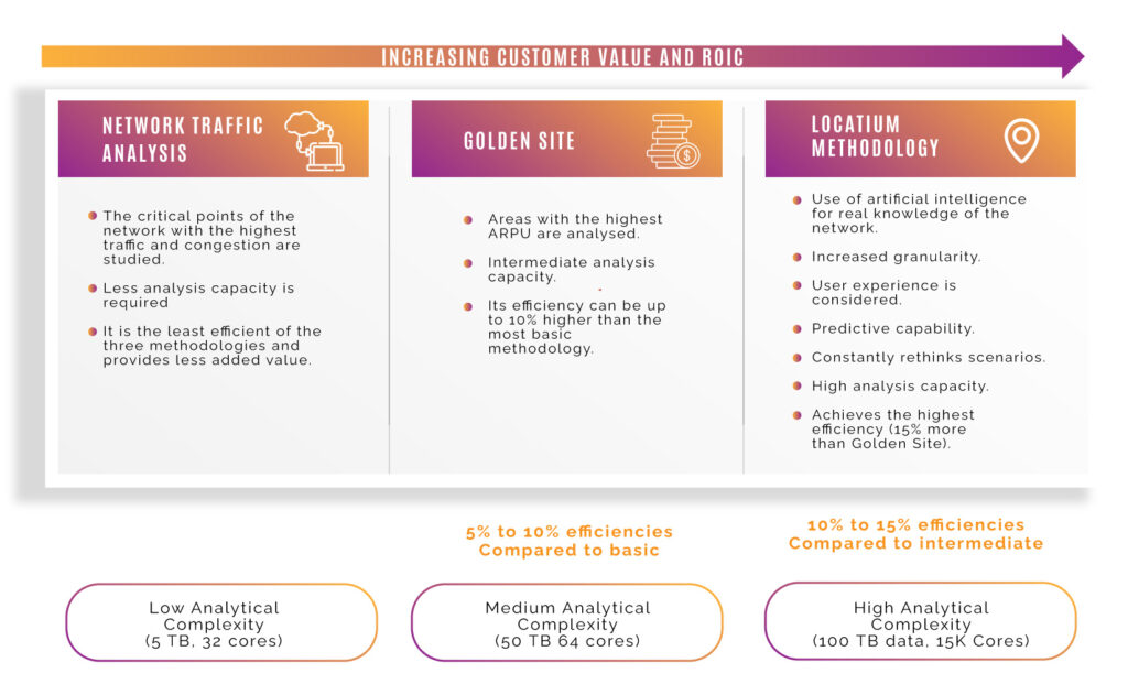
In addition, given the high investment required to meet the needs of their clients, they should seek to maximize the ROI of these operations as much as possible. The study of geospatial data allows us to offer high-level communications by properly placing the minimum number of antennas and other elements so that they are possible.
Omnichannel geo-marketing
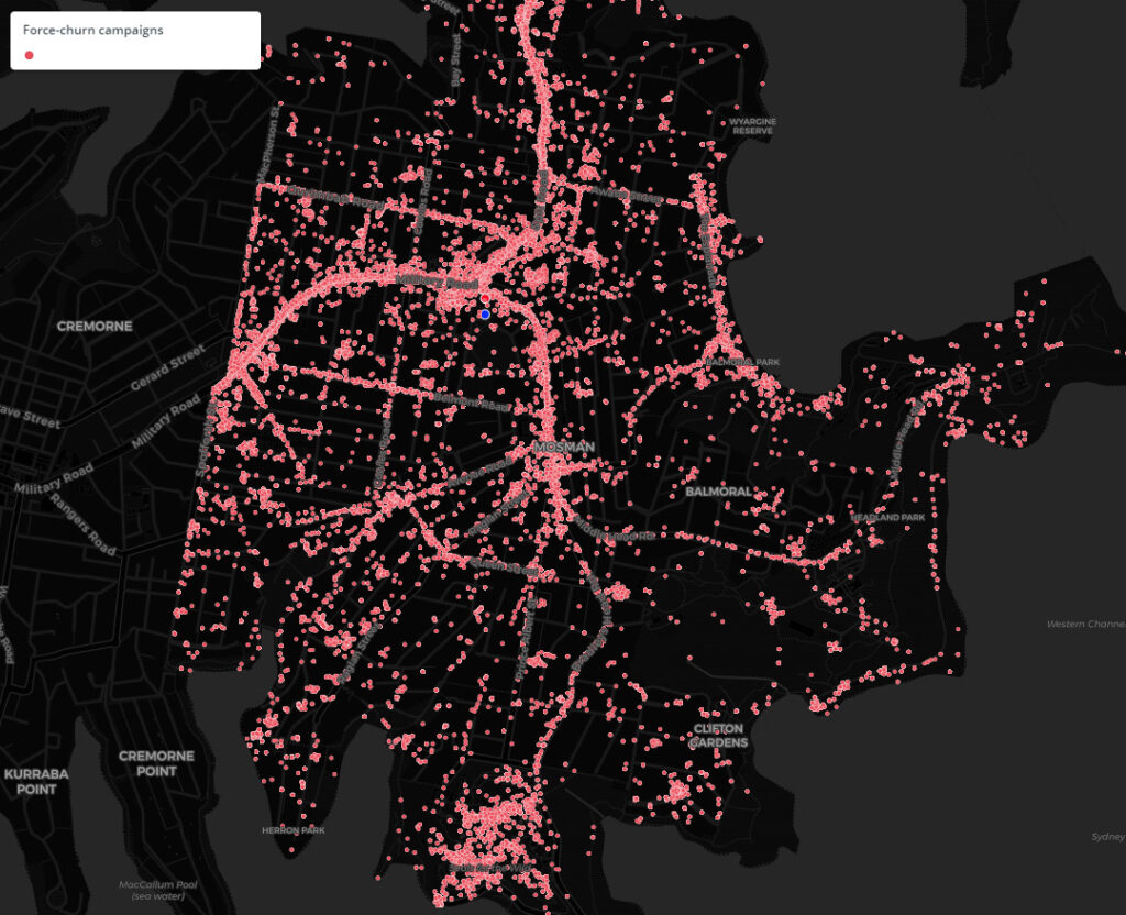
The success of a marketing campaign is largely marked by getting the right message across to the audience that is interested in hearing it, a principle that applies to both online and out-of-home campaigns. Geographic data analysis is one of the most suitable and reliable methods for customer segmentation. These results carry information to make strategic decisions.
Customer segmentation is very useful both to attract new customers and to identify those who are dissatisfied with the services offered by the competition, and therefore, who are more willing to attend to our message.
Fuel Retailers and convenience Network Optimization
The Fuel Retailers Industry has been characterized by disruptive forces and affected by environment and customer behavior, both: electric vehicles (EVs) and alternative fuels. In this scenario, became more and more important the need of being updated on all those changes and not act over on them.
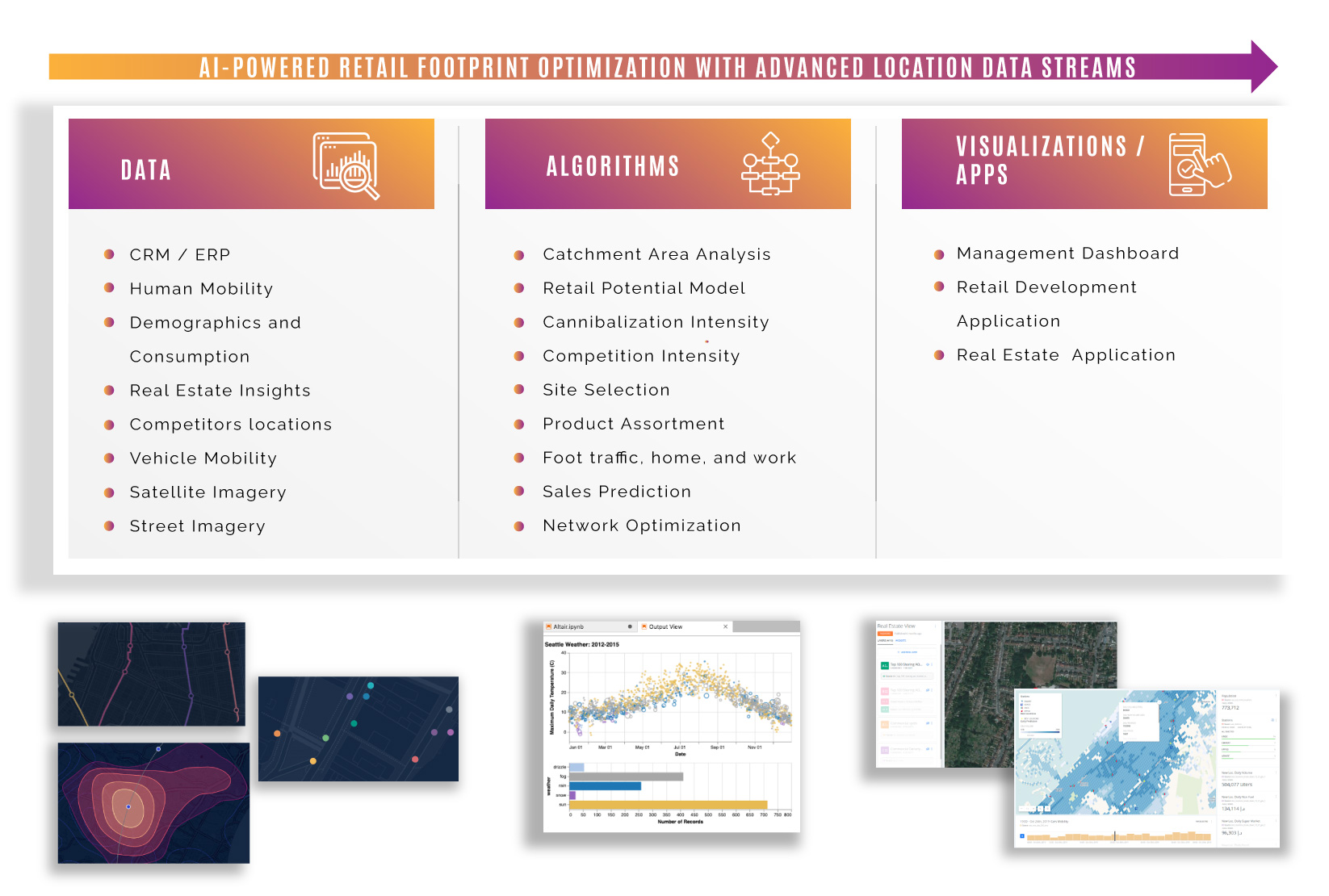
The Locatium-based model algorithm is capable to tackle their most important challenges and capture their greatest opportunities through the power of data. We take into account the vehicle mobility data sets and combine them with points of interest, demographic data, and so on to evaluate the potential of the current network by optimizing them.
How can your business benefit from geospatial data analysis?
Clear all your doubts in this regard by contacting our team of professionals directly.
We will wait for you!
Do you dare to get to know us better? We will be happy to arrange a meeting that will serve as a starting point for a successful journey towards your business goals.


Industries
Retail
Retail
Telco
Telco
fmcg
fmcg
Restaurants
Restaurants
Healthcare
Healthcare
Banking
Banking
Automotive
Automotive
our platform
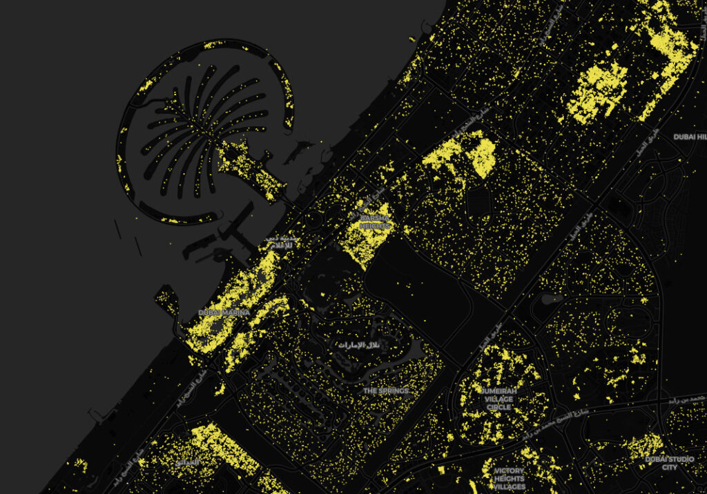
From Locatium we offer you an agile, complete, and simple way to visualize the geolocated data so that you can make strategic decisions as a result of the interpretation of said data. In our platform, you will find maps with the information distributed by layers, with the use of graphs and tables to facilitate the extraction of all the values of geospatial technology.
